
-960.jpg "South America Shipping Routes (1)-960.jpg")
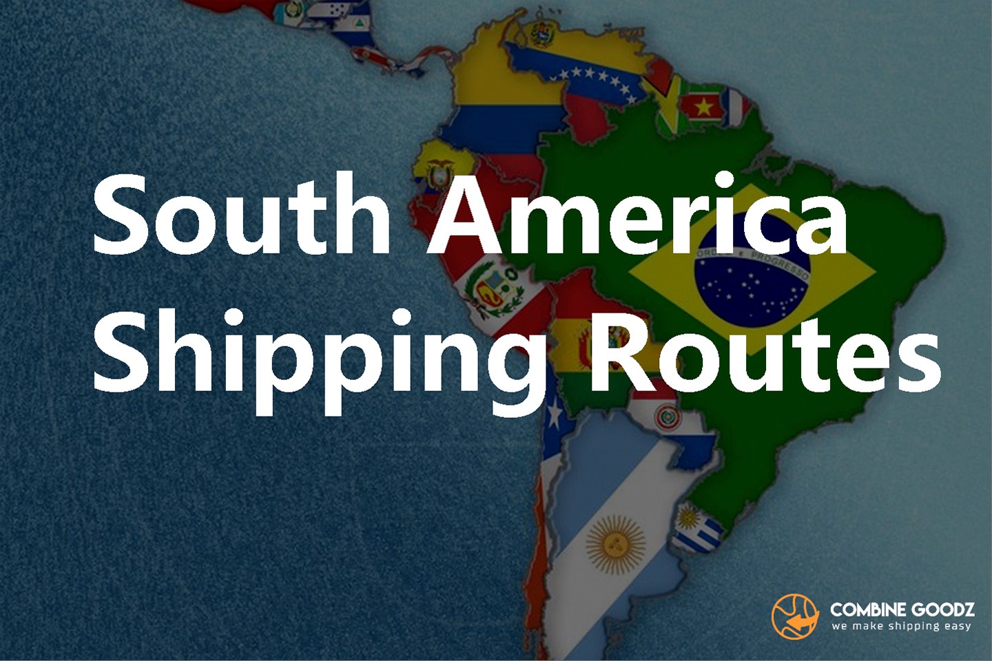
South America is one of the most resource-rich — and logistically fascinating — trade regions in the world. It feeds global markets with soybeans, iron ore, copper, coffee, beef, fruit, and crude oil, while importing everything from electronics to machinery to consumer goods.
But shipping to or from the continent is not a single "route." Its geography — a continent split by the Andes and wrapped by two oceans — means you are really dealing with two entirely different coastlines, connected by one of the most important waterways on earth: the Panama Canal.
This guide is the starting point of our South America series. It explains the big picture so you can plan smarter, avoid costly detours, and pick the lane that fits your cargo.
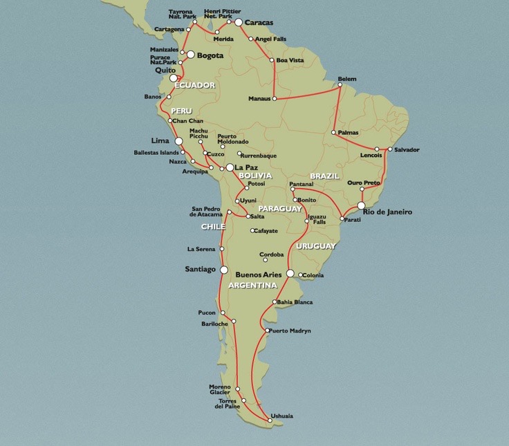
Unlike a compact landmass such as Western Europe, South America is long and narrow, with ports facing opposite oceans:
East Coast (Atlantic / Caribbean) — Brazil, Argentina, Uruguay, and the Atlantic-facing parts of Colombia and Venezuela. The economic powerhouse, anchored by Brazil.
West Coast (Pacific) — Chile, Peru, Ecuador, and the Pacific side of Colombia. Mineral- and agriculture-export heavy.
A shipment from Shanghai to Santos, Brazil and a shipment from Shanghai to Callao, Peru are effectively two different worlds of routing, transit time, and cost.
The Panama Canal is the shortcut that lets a ship cross from the Atlantic (Caribbean) side to the Pacific without sailing around the southern tip of the continent (Cape Horn). It cuts thousands of nautical miles off trans-oceanic voyages.
Opened: 1914
Expanded (Neopanamax locks): 2016, allowing much larger vessels
Typical daily transits: ~35–40 ships
For any cargo moving between the U.S. East Coast, Europe, or the U.S. Gulf and the west coast of South America — or vice versa — the canal is usually the default path. When it faces disruptions (see our Pacific Coast post), entire routing strategies shift.
.jpg "South America Shipping Routes (2).jpg")
| Corridor | Typical cargo | Common path |
|---|---|---|
| Asia ↔ South America | Electronics, machinery, textiles (in); commodities (out) | Trans-Pacific to West Coast, or via Suez/Cape of Good Hope to East Coast |
| Europe ↔ South America | Consumer goods, autos, chemicals (in); agri-bulk, minerals (out) | Direct North Atlantic + Mediterranean services |
| North America ↔ South America | Mixed containerized & refrigerated | U.S. East/Gulf via Panama; U.S. West Coast direct to Pacific ports |
Beyond the long-haul lanes, there is a busy network of coastal (cabotage) and intra-regional services — for example, moving containers between Brazilian ports, or feeding cargo from smaller Pacific ports to the transshipment hubs at Callao (Peru) and Cartagena / Manzanillo (Colombia/Panama).
These feeder routes matter because many South American ports are not called directly by the largest ocean alliances; your cargo may move on a small vessel first, then transfer to a mega-ship at a hub.
Pinpoint the destination port, not just the country. Inland distance from port to final delivery can rival the ocean leg in cost.
Compare canal vs. Cape routing for East Coast Brazil. During Suez or Panama disruptions, the Cape of Good Hope alternative changes both price and transit time.
Watch the season. Agri-export peaks (e.g., Brazilian soybean harvest, Chilean fruit season) tighten equipment and space.
Factor in draft and congestion. Some riverside ports have draft limits; hubs like Santos can see queues.
South America is one of the most resource-rich — and logistically fascinating — trade regions in the world. It feeds global markets with soybeans, iron ore, copper, coffee, beef, fruit, and crude oil, while importing everything from electronics to machinery to consumer goods.
But shipping to or from the continent is not a single "route." Its geography — a continent split by the Andes and wrapped by two oceans — means you are really dealing with two entirely different coastlines, connected by one of the most important waterways on earth: the Panama Canal.
This guide is the starting point of our South America series. It explains the big picture so you can plan smarter, avoid costly detours, and pick the lane that fits your cargo.
Unlike a compact landmass such as Western Europe, South America is long and narrow, with ports facing opposite oceans:
East Coast (Atlantic / Caribbean) — Brazil, Argentina, Uruguay, and the Atlantic-facing parts of Colombia and Venezuela. The economic powerhouse, anchored by Brazil.
West Coast (Pacific) — Chile, Peru, Ecuador, and the Pacific side of Colombia. Mineral- and agriculture-export heavy.
A shipment from Shanghai to Santos, Brazil and a shipment from Shanghai to Callao, Peru are effectively two different worlds of routing, transit time, and cost.
The Panama Canal is the shortcut that lets a ship cross from the Atlantic (Caribbean) side to the Pacific without sailing around the southern tip of the continent (Cape Horn). It cuts thousands of nautical miles off trans-oceanic voyages.
Opened: 1914
Expanded (Neopanamax locks): 2016, allowing much larger vessels
Typical daily transits: ~35–40 ships
For any cargo moving between the U.S. East Coast, Europe, or the U.S. Gulf and the west coast of South America — or vice versa — the canal is usually the default path. When it faces disruptions (see our Pacific Coast post), entire routing strategies shift.
| Corridor | Typical cargo | Common path |
|---|---|---|
| Asia ↔ South America | Electronics, machinery, textiles (in); commodities (out) | Trans-Pacific to West Coast, or via Suez/Cape of Good Hope to East Coast |
| Europe ↔ South America | Consumer goods, autos, chemicals (in); agri-bulk, minerals (out) | Direct North Atlantic + Mediterranean services |
| North America ↔ South America | Mixed containerized & refrigerated | U.S. East/Gulf via Panama; U.S. West Coast direct to Pacific ports |
Beyond the long-haul lanes, there is a busy network of coastal (cabotage) and intra-regional services — for example, moving containers between Brazilian ports, or feeding cargo from smaller Pacific ports to the transshipment hubs at Callao (Peru) and Cartagena / Manzanillo (Colombia/Panama).
These feeder routes matter because many South American ports are not called directly by the largest ocean alliances; your cargo may move on a small vessel first, then transfer to a mega-ship at a hub.
Pinpoint the destination port, not just the country. Inland distance from port to final delivery can rival the ocean leg in cost.
Compare canal vs. Cape routing for East Coast Brazil. During Suez or Panama disruptions, the Cape of Good Hope alternative changes both price and transit time.
Watch the season. Agri-export peaks (e.g., Brazilian soybean harvest, Chilean fruit season) tighten equipment and space.
Factor in draft and congestion. Some riverside ports have draft limits; hubs like Santos can see queues.
Popular Articles

Categories
Share


The latest blogs and insights on what is happening in international transport and logistics.

The best freight forwarder in China who helps to optimize your global transportation with the best possible logistics solution.
